Maine: QUIET No active NWS alerts returned by weather.gov at generation time. Continue routine monitoring for fast-changing heat, storms, rainfall, and local impacts.
American Red Cross · Northeast
Weather.gov checked at 11:15 AM EST, November 8, 2026.
Northeast Situational Awareness
Updates automatically four times a day — 6 AM, noon, 6 PM, and 10 PM Eastern.
Update problem: This report is more than nine hours old. Treat the conditions below as stale and open the linked official sources for current information.
No tropical cyclone formation expected in the Atlantic outlook period. No active NWS alerts are currently mapped across Northeast geographies.
HighestQuietNo active NWS alerts
Active Areas0 / 9None returned
NWS Alerts0None returned
TropicsQuietNHC official outlook
Risk Overview
| Product | Status | Conditions |
|---|---|---|
| NHC | Quiet | No tropical cyclone formation expected in the Atlantic outlook period. |
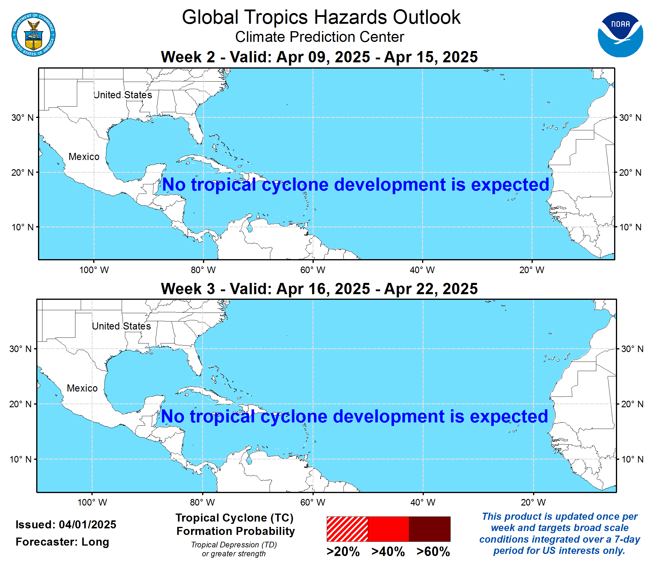
| Global Tropics Hazards Outlook | Quiet | Tropical formation outlook cached. Open the source for probability shading and dates. |
| GFS | Quiet | 7 AM EST Nov 8 model panel cached for reference. NHC and CPC are the official sources. |
| Euro | Quiet | 1 AM EST Nov 8 model panel cached for reference. NHC and CPC are the official sources. |
| Excessive Rainfall | Quiet | No Northeast flood-specific NWS alerts returned at generation time. Review WPC ERO for developing Day 1-5 risk areas. |
| Active Fires & Potential | Advisory | 3 wildfires 10+ acres in Northeast, 3 not fully contained (largest uncontained: Wild River, 856 acres, 20% contained, NH). NIFC 7-day fire potential outlook cached for reference. |
| Extreme Heat | Quiet | No Northeast heat-specific NWS alerts returned at generation time. Continue heat monitoring through local NWS offices. |
| SPC | Quiet | SPC Day 1 Convective Outlook shows no categorical risk area over Northeast states today. Open SPC for the latest thunderstorm and severe outlook. |
| PowerOutage.us | Quiet | Open live dashboard for current outage counts. |
SPC Convective Outlook — Northeast Lookahead

Day 1 · TodayQuietNo categorical risk area over Northeast states.
Day 2 · TomorrowQuietNo categorical risk area over Northeast states.
Day 3QuietNo categorical risk area over Northeast states.
Categorical severe-thunderstorm risk from the Storm Prediction Center, limited to Northeast states. The Day 1 map is shown; open SPC for the full national maps and discussion.
Northeast Alert Map

Mapped Alert Summary
| Area | Level | Active Alerts | Events |
|---|---|---|---|
| Maine | Quiet | 0 | None returned |
| New Hampshire | Quiet | 0 | None returned |
| Vermont | Quiet | 0 | None returned |
| Massachusetts | Quiet | 0 | None returned |
| Rhode Island | Quiet | 0 | None returned |
| Connecticut | Quiet | 0 | None returned |
| New York | Quiet | 0 | None returned |
| New Jersey | Quiet | 0 | None returned |
| Pennsylvania | Quiet | 0 | None returned |
Source Cards

Preview unavailable. Open the live source.
Tropical
NHC Atlantic Outlook
Status: No tropical cyclone formation expected in the Atlantic outlook period.
Thumbnail: refreshed in latest build
Open source
Preview unavailable. Open the live source.
Tropical
CPC Global Tropics Hazards Outlook
Status: Fetched
Thumbnail: refreshed in latest build
Open source

Preview unavailable. Open the live source.
Model
GFS North Atlantic Model Guidance
Status: Fetched
Source time: 7 AM EST Nov 8
Latest model image resolved from page metadata.
Thumbnail: refreshed in latest build
Open source

Preview unavailable. Open the live source.
Model
ECMWF North Atlantic Model Guidance
Status: Fetched
Source time: 1 AM EST Nov 8
Latest model image resolved from page metadata.
Thumbnail: refreshed in latest build
Open source

Preview unavailable. Open the live source.
Rainfall
WPC Excessive Rainfall Outlook
Status: Fetched
Thumbnail: refreshed in latest build
Open source

Preview unavailable. Open the live source.
Fire
7-Day Significant Fire Potential
Status: Fetched
Last successful thumbnail retained after fetch error: 404 Client Error: Not Found for url: https://www.nifc.gov/modules/custom/nicc_outlooks/images/outlook_d1.png
Thumbnail cached from previous successful run
Open source
Preview unavailable. Open the live source.
Severe
SPC Convective Outlook
Status: Fetched
Thumbnail: refreshed in latest build
Open source

Preview unavailable. Open the live source.
Infrastructure
PowerOutage.us
Status: Fetched
Open live dashboard for current outage counts.
Thumbnail: refreshed in latest build
Open source
Watch Items
- Treat GFS and ECMWF panels as model context only; official outlooks govern the briefing language.
- Use the map as current alert context, not as a replacement for local NWS warning text.
5-Day Outlook For November 8, 2026
State-by-State Threats
New Hampshire: QUIET No active NWS alerts returned by weather.gov at generation time. Continue routine monitoring for fast-changing heat, storms, rainfall, and local impacts.
Vermont: QUIET No active NWS alerts returned by weather.gov at generation time. Continue routine monitoring for fast-changing heat, storms, rainfall, and local impacts.
Massachusetts: QUIET No active NWS alerts returned by weather.gov at generation time. Continue routine monitoring for fast-changing heat, storms, rainfall, and local impacts.
Rhode Island: QUIET No active NWS alerts returned by weather.gov at generation time. Continue routine monitoring for fast-changing heat, storms, rainfall, and local impacts.
Connecticut: QUIET No active NWS alerts returned by weather.gov at generation time. Continue routine monitoring for fast-changing heat, storms, rainfall, and local impacts.
New York: QUIET No active NWS alerts returned by weather.gov at generation time. Continue routine monitoring for fast-changing heat, storms, rainfall, and local impacts.
New Jersey: QUIET No active NWS alerts returned by weather.gov at generation time. Continue routine monitoring for fast-changing heat, storms, rainfall, and local impacts.
Pennsylvania: QUIET No active NWS alerts returned by weather.gov at generation time. Continue routine monitoring for fast-changing heat, storms, rainfall, and local impacts.
Wildfires

Wildfires 10+ acres in Northeast states from the National Interagency Fire Center (WFIGS), largest first. On the map, marker size is acreage and the legend identifies containment; color-vision mode also changes marker shapes. Fire potential is in the Risk Overview.
NH
Wild River
Coos County, NH
856 acres · 20% contained
NY
Cherry Plain
Rensselaer County, NY
251 acres · 99% contained
NJ
Gorge Road
Morris County, NJ
61 acres · Containment not listed
State & Territory Emergency Management
Each Northeast state and territory emergency-management agency publishes its own situation reports (SitReps) and updates. These are direct links to the official agency pages for local detail this brief does not pull automatically.
MEMaine Emergency Management AgencyNHNew Hampshire Homeland Security & Emergency ManagementVTVermont Emergency ManagementMAMassachusetts Emergency Management AgencyRIRhode Island Emergency Management AgencyCTConnecticut Div. of Emergency Management & Homeland SecurityNYNew York State Div. of Homeland Security & Emergency ServicesNJNew Jersey Office of Emergency ManagementPAPennsylvania Emergency Management Agency
Northeast Active Operations
Public aggregate snapshot of current Northeast DROs, shelters, damage assessment, and cases. The scheduled Red Cross Notebook refreshes this alongside the report.
Current public operations snapshot is preloaded. No sign-in is required.
—Active DROs
—Open Shelters
—Overnight
—DA Major
—DA Destroyed
—Cases Opened
—Cases Closed
0 operations
| DRO | Incident | Status | Geography | Opened | Open Shelters | Overnight | DA Major / Destroyed | Cases Opened | Cases Closed | Active Cases | Source Updated |
|---|
Aggregates only. No client names, addresses, case records, private item identifiers, service URLs, or access tokens are published.